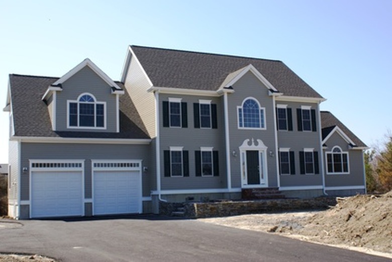
How To Draw An Elevation In A Landscape Designs
An aerial view of the landscape provides a basic plan for placement, showing the location of plants, water features and other elements that effect design such as buildings and patios. Elevation landscape drawings provide the head-on view, showing relative heights of landscape features. In this view, a sunken patio, a hillside, a hedge, a gate and a raised border all show in proportion to one another. Professional landscapers study landscape drawing techniques to render designs to suit a specific setting and to convey the design features. With basic techniques, draw elevations in landscape to plan a yard or other project.
Step 1
Examine elevation landscape drawings in books or websites to have models to work from.
Step 2
Select the view for the elevation landscape drawing. For example, draw the front yard in a straight-on view from the street.
Step 3
Measure the yard and the relevant features. For example, measure across the front yard from the fence on one side to the fence on the other side. Measure the width and height of the front gate. Measure the height and width of any existing landscape features such as statues, flowerbed borders, boulders, retaining walls, shrubs, trees and any other permanent elements that show in the front-yard view.
Step 4
- Examine elevation landscape drawings in books or websites to have models to work from.
- Measure the width and height of the front gate.
Step 5
Draw the foreground elements in the front of the elevation landscape design. Create a practice sketch on grid paper using the scale of 1 inch to 1 foot and draw the elevation view on graph paper in pencil. For example, draw the gate in front. If the gateposts measure 7 feet tall, draw a line extending up 7 squares. Half a square equals half a foot.
Step 6
Fill in all the features of the yard for the elevation view, placing items that are farther back from the front in their relative positions to the foreground elements and the house. For example, if a statue is lined up in front of the living room window, center it that way on the elevation drawing.
Step 7
- Draw the foreground elements in the front of the elevation landscape design.
- Fill in all the features of the yard for the elevation view, placing items that are farther back from the front in their relative positions to the foreground elements and the house.
Step 8
Stand at the viewpoint position of the elevation drawing to check the accuracy. Check that you represented all the stationary features of the landscape—items that stay in place—in the elevation drawing. Erase and correct any errors. For example, if the flag pole was missing, draw it in, and carefully erase the background lines that cross the flagpole lines.
Step 9
Fill in plants such as trees and shrubs in green pencil, statues in gray, color in the house, gate and other features.
